
Collection: Know What You Own
Transportation Asset Intelligence begins with visibility.
PILLAR helps transportation agencies create a complete understanding of their transportation network through advanced data collection, asset inventories, and geospatial intelligence.
When you know what assets exist and exactly where they are located, better decisions become possible.
Why Collection Matters
You Can’t Manage What You Can’t See.
Transportation agencies are responsible for thousands of miles of roadway and countless infrastructure assets.
- Guardrail.
- Signs.
- Drainage systems.
- ITS devices.
- Pavement markings.
- Utilities.
- Structures.
The challenge isn’t simply maintaining these assets. It’s maintaining them with confidence.
Without a complete and accurate inventory, agencies struggle to:
- Understand what assets exist
- Locate infrastructure quickly
- Assess conditions consistently
- Prioritize investments effectively
- Justify funding needs
- Measure long-term performance
Transportation Asset Intelligence begins with a trusted source of truth.
Collection provides the visibility needed to make informed decisions across an entire transportation network.
How We Build Transportation Asset Intelligence
Capture. Identify. Visualize. Organize.
PILLAR combines advanced technology and proven workflows to transform infrastructure information into usable asset intelligence.
Mobile LiDAR
Capture Everything. Fast.
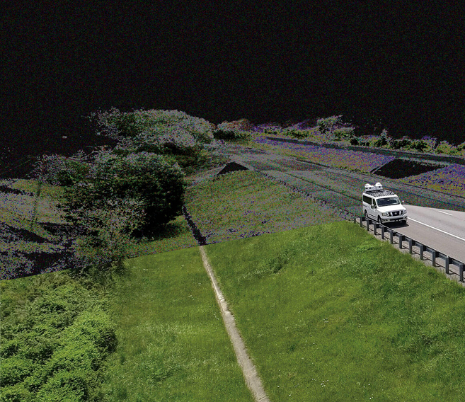
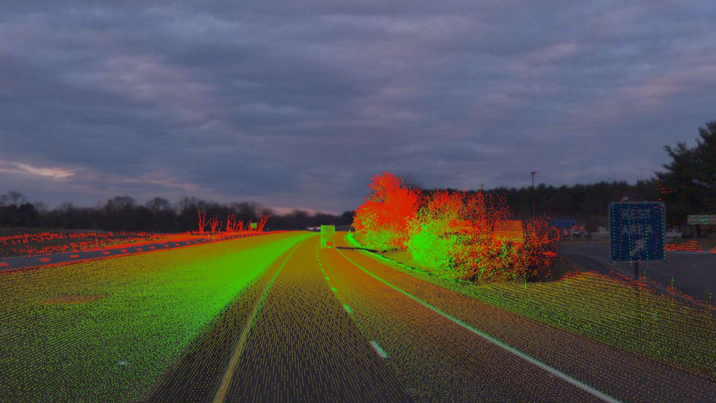
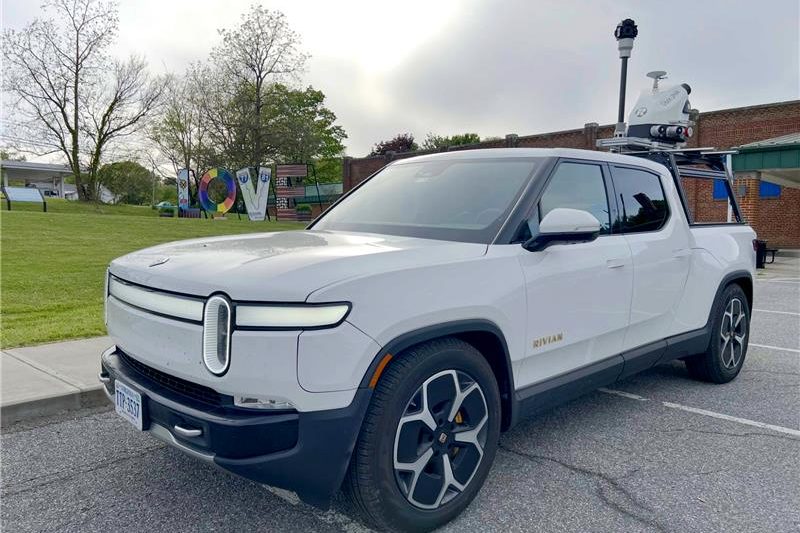
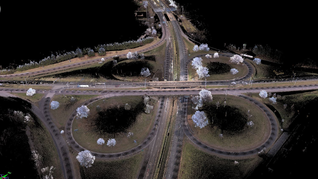
Mobile LiDAR allows transportation agencies to collect detailed infrastructure information safely, accurately, and efficiently.
Operating at highway speeds, Mobile LiDAR captures millions of measurements across the transportation network while minimizing traffic impacts and reducing field exposure.
Benefits
- Survey-grade accuracy
- Network-wide visibility
- Reduced field time
- Improved safety
- Rapid collection
Outcome
- A detailed digital representation of your transportation network.
Automatic Feature Extraction System (AFES)
Transform Data Into Inventory.
Collecting information is only the first step.
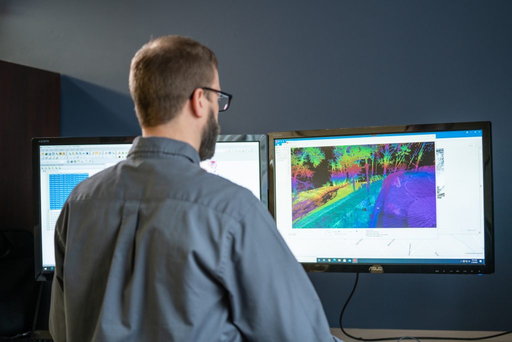
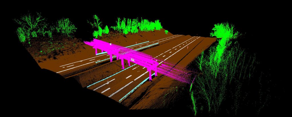
AFES uses machine learning, artificial intelligence, and computer vision to automatically identify and inventory transportation assets from LiDAR and imagery.
Instead of spending months manually reviewing data, agencies can rapidly generate consistent, scalable inventories across entire networks.
Benefits
- Faster project delivery
- Reduced operating costs
- Consistent asset identification
- Scalable statewide inventories
- Improved data quality
- Defensible results
Outcome
- Transportation Asset Intelligence at scale.
Imagery Collection
See the Network Through Your Team’s Eyes.
Street-level imagery creates a permanent visual record of infrastructure conditions.
By capturing high-quality imagery at highway speeds, agencies gain the ability to review assets and conditions from the office rather than the roadside.
Benefits
- 360-degree visibility
- Reduced field visits
- Improved safety
- Permanent visual documentation
- Faster condition reviews
Outcome
- A visual understanding of infrastructure across the network.
Geospatial Intelligence
Turn Assets Into Actionable Information.
Knowing what exists is valuable.
Knowing where it exists is essential.
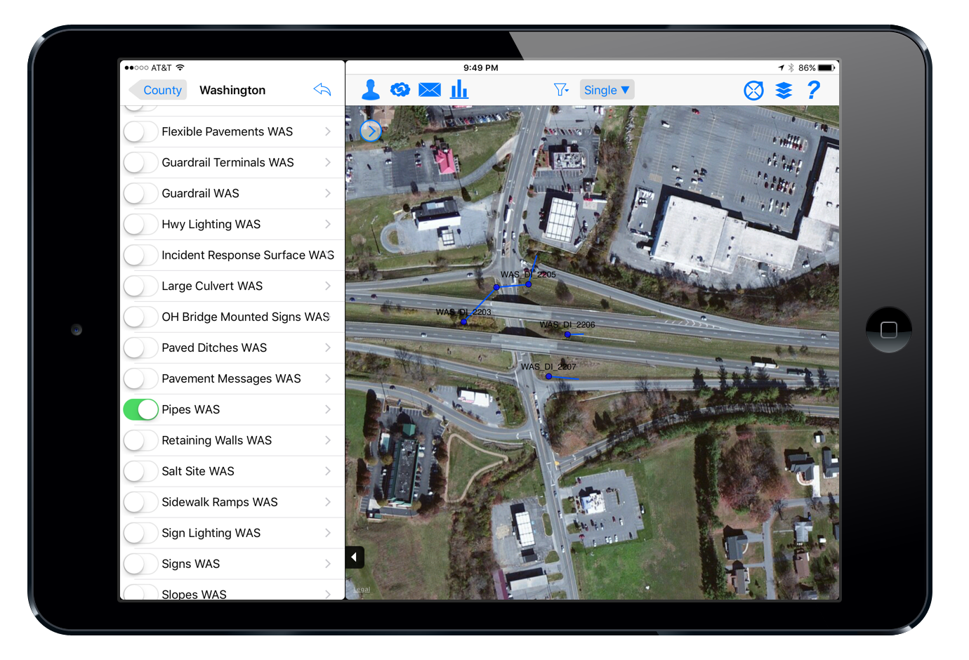
PILLAR integrates asset information into a geospatial framework that connects inventories, imagery, LiDAR, and operational data within a single environment.
This creates a shared understanding of infrastructure conditions across districts, routes, and programs.
Benefits
- Interactive mapping
- Asset visibility
- Location-based analysis
- Improved reporting
- Better decision support
Outcome
- A trusted source of truth for your transportation network.
Collection In Action
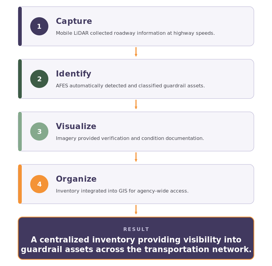
Example: Statewide Guardrail Inventory
Transportation Asset Intelligence Starts Here
Collection creates visibility.
It establishes the foundation for every decision that follows.
Once agencies know what assets exist and where they are located, they can begin evaluating condition, identifying risk, and prioritizing investments.
Next Step: Assessment
Transform inventories into actionable insight about infrastructure condition, compliance, and risk.