
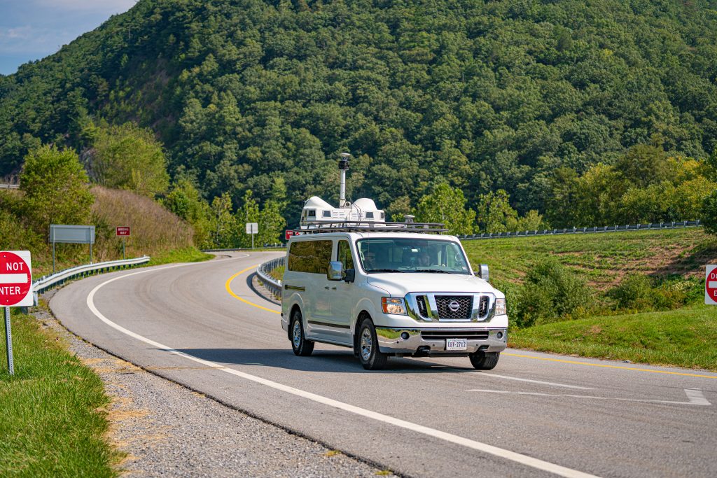
See Your Transportation Network Like Never Before.
Mobile LiDAR creates a precise digital representation of your transportation network, helping agencies inventory assets, assess conditions, identify risk, and make more confident infrastructure decisions.
Collect millions of measurements at highway speeds while minimizing traffic impacts, reducing field exposure, and accelerating project delivery.
Transportation Asset Intelligence begins with visibility.
Why Mobile LiDAR?
Better Decisions Start with Better Visibility.
Transportation agencies manage thousands of miles of roadway and millions of infrastructure assets.
Understanding what exists, where it is located, and how it is performing has never been more important.
Traditional data collection methods often require:
- Extended field time
- Lane closures
- Large crews
- Higher safety exposure
- Limited coverage
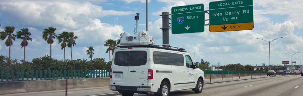
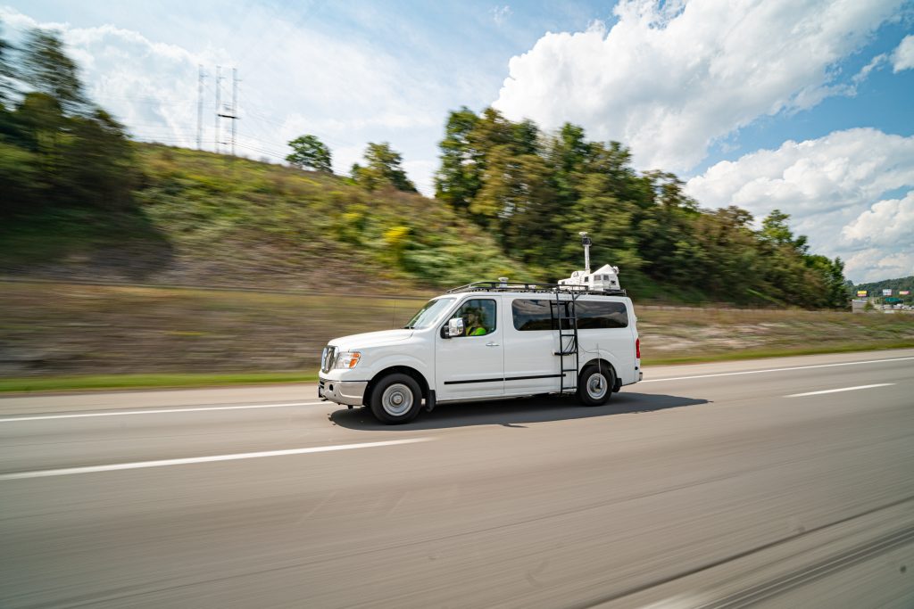
Mobile LiDAR transforms the process by collecting highly accurate infrastructure information at highway speeds.
The result is a safer, faster, and more complete understanding of the transportation network.
What is Mobile LiDAR?
Create a Digital Representation of Reality.
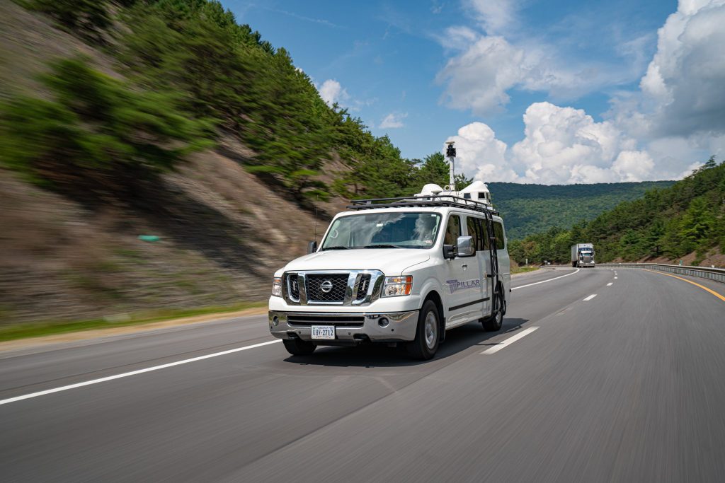
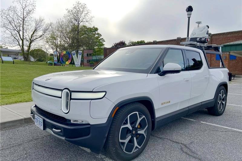
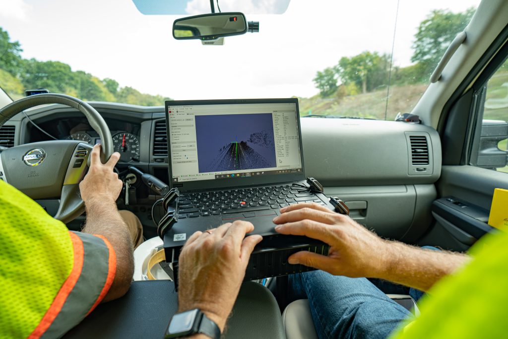
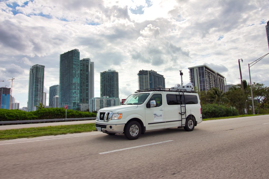
Mobile LiDAR combines laser scanning, high-resolution imagery, GNSS positioning, and inertial navigation technologies to create a detailed digital representation of transportation infrastructure.
As the vehicle travels through the roadway network, millions of measurements are collected every second.
These measurements are combined with imagery and geospatial information to create an accurate, location-aware record of existing conditions.
Captured Information Includes
- Roadway geometry
- Asset locations
- Clearances
- Elevations
- Roadside infrastructure
- Drainage features
- Utilities
- Structures
- Signage
- Guardrail
- And much more.
Outcome
A complete digital representation of your transportation network.
Why Transportation Agencies Choose Mobile LiDAR
Capture More. Learn More. Do More.
Highway-Speed Collection
Collect information at posted roadway speeds while minimizing traffic disruptions and reducing safety exposure.
Survey-Grade Accuracy
Generate highly accurate measurements suitable for engineering, asset management, and operational applications.
Comprehensive Coverage
Capture information across all visible infrastructure assets in a single collection effort.
Faster Project Delivery
Reduce collection timelines while improving the amount of information gathered.
Safer Operations
Minimize the need for personnel working in traffic environments.
Scalable Solutions
Collect information across local, regional, and statewide transportation networks.
What Can Mobile LiDAR Support?
One Collection. Endless Applications.
Mobile LiDAR creates a foundation for Transportation Asset Intelligence across multiple programs and departments.
Asset Inventories
Know what assets exist and where they are located.
Condition Assessments
Evaluate infrastructure performance and identify emerging concerns.
Engineering Analysis
Measure geometry, clearances, slopes, and other critical infrastructure characteristics.
Risk Identification
Detect conditions that may impact safety, operations, or maintenance activities.
Planning & Prioritization
Support funding decisions, maintenance planning, and capital improvement programs.
Digital Twins & GIS Integration
Create geospatially enabled infrastructure information for long-term management.
The PILLAR Difference
Mobile LiDAR is Only the Beginning
Many organizations can collect LiDAR data.
Far fewer can transform it into actionable intelligence.
PILLAR combines Mobile LiDAR with:
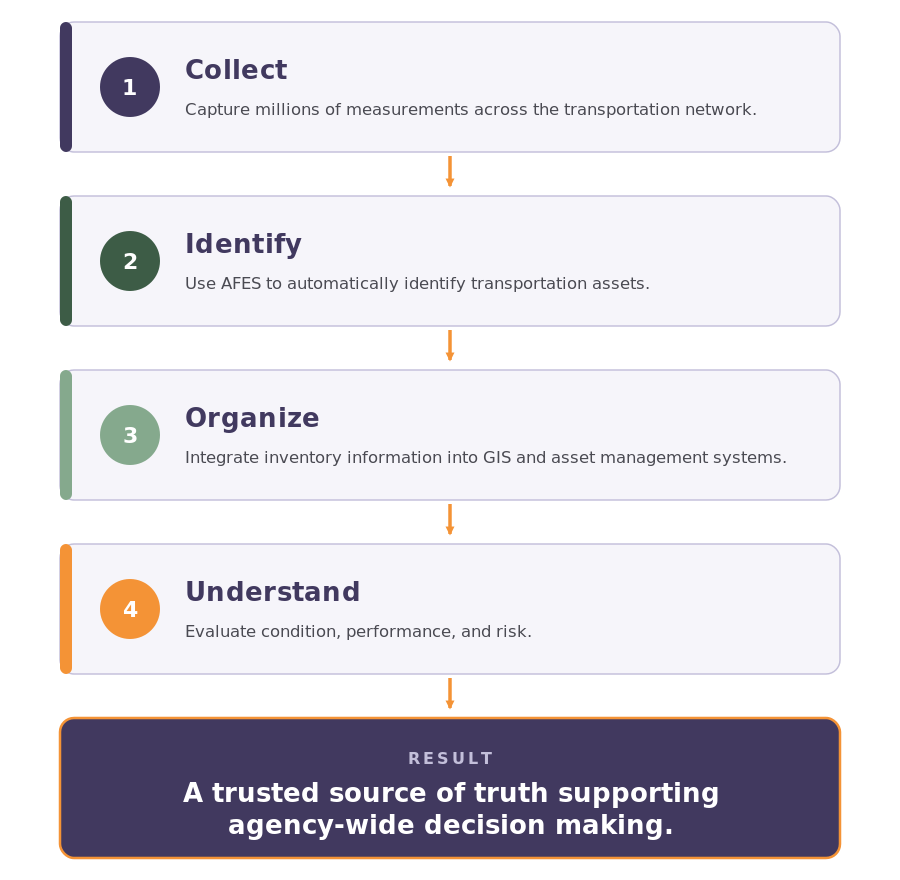
Automated Feature Extraction (AFES)
Artificial intelligence and machine learning automatically identify transportation assets and infrastructure features.
Geospatial Intelligence
Integrate information into GIS and asset management workflows.
Transportation Expertise
Maintenance professionals, asset managers, and transportation specialists who understand how agencies use information.
CAPE® Framework
A proven process that transforms data into visibility, understanding, planning, and measurable results.
Outcome
Transportation Asset Intelligence—not just data collection.
Mobile LiDAR in Action
Example: Statewide Asset Inventory
Frequently Used For
Transportation agencies use Mobile LiDAR for:
- Network visualization
- Guardrail inventories
- Sign inventories
- ADA programs
- Drainage inventories
- Utility mapping
- Roadway geometry
- Clearance analysis
- Asset management
- Engineering support
- Maintenance planning
- Infrastructure assessments
From Data Collection to Transportation Asset Intelligence
Mobile LiDAR creates visibility.
Visibility creates understanding.
Understanding supports better decisions.
That’s why Mobile LiDAR is one of the foundational technologies behind Transportation Asset Intelligence.
Ready to See Your Network Differently?
Discover how Mobile LiDAR can help your agency collect better information, improve visibility, and make more confident infrastructure decisions.