
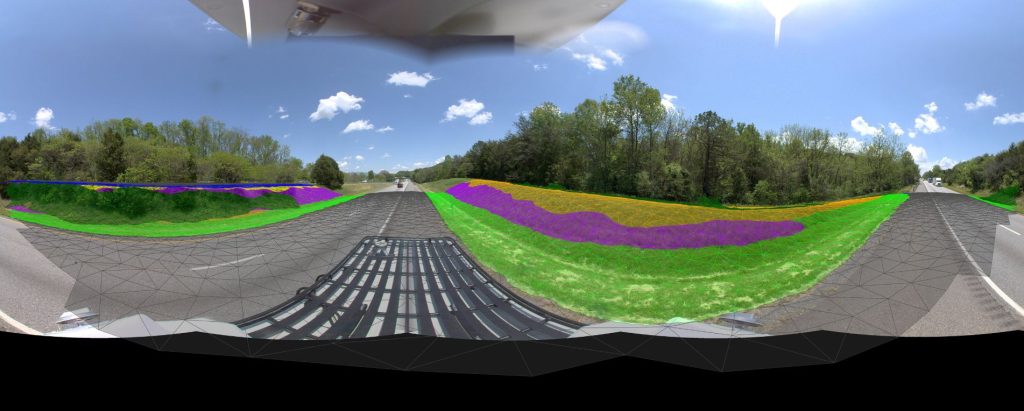
Connect Infrastructure Information to Better Decisions
Transportation infrastructure exists in a geographic context.
Assets have locations. Conditions have locations. Risks have locations. Opportunities have locations.
PILLAR’s Geospatial Intelligence capabilities help transportation agencies transform infrastructure information into a connected understanding of their transportation network.
Because better decisions start with knowing where things matter.
Why Geospatial Intelligence Matters
Infrastructure Decisions Are Location Decisions.
Transportation agencies make decisions every day about:
- Where maintenance should occur.
- Where risk exists.
- Where funding should be invested.
- Where assets are deteriorating.
- Where operational issues are emerging.
Every one of these decisions has a geographic component.
When infrastructure information is disconnected from location, opportunities are missed and decisions become more difficult.
Geospatial Intelligence connects infrastructure information to the transportation network, creating clarity across entire corridors, districts, and statewide systems.
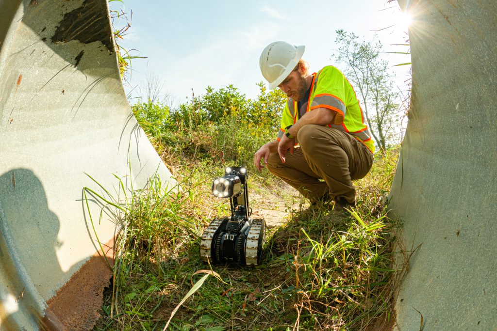
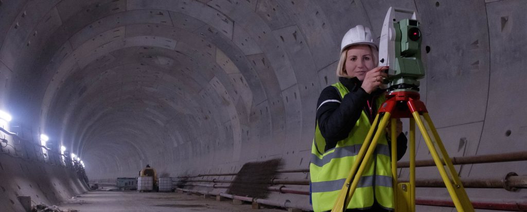
From Data to Understanding
Collect. Connect. Analyze. Decide.
Geospatial Intelligence brings together information from multiple sources and transforms it into a complete understanding of infrastructure performance.
Asset Inventories
Understand what assets exist and where they are located.
Condition Information
Visualize infrastructure performance across the network.
Inspection Data
Connect field observations to specific assets and locations.
Operational Information
Understand how infrastructure conditions impact operations.
Maintenance Activities
Track improvements, repairs, and performance over time.
Outcome
A connected understanding of transportation infrastructure.
What is Geospatial Intelligence?
More Than Mapping.
Maps are useful.
Understanding is valuable.
PILLAR’s Geospatial Intelligence capabilities combine location, infrastructure information, condition assessments, and operational data to reveal patterns, relationships, and opportunities that are difficult to identify through traditional reporting.y across entire corridors, districts, and statewide systems.
Benefits
- Network-wide visibility
- Spatial analysis
- Improved prioritization
- Risk identification
- Performance tracking
- Decision support
Outcome
Infrastructure information organized around how transportation networks actually function.


How Agencies Use Geospatial Intelligence
See the Bigger Picture.
Transportation Asset Intelligence requires understanding more than individual assets.
It requires understanding relationships across an entire transportation network.
Asset Management
Maintain visibility into transportation assets and their condition.
Corridor Analysis
Evaluate infrastructure performance across routes and corridors.
Risk Identification
Locate infrastructure vulnerabilities and emerging concerns.
Maintenance Planning
Prioritize investments geographically.
Program Management
Monitor infrastructure performance across districts and regions.
Executive Reporting
Communicate infrastructure conditions clearly and effectively.
Geospatial Intelligence in Action
Transform Information into Insight
PILLAR integrates information from:
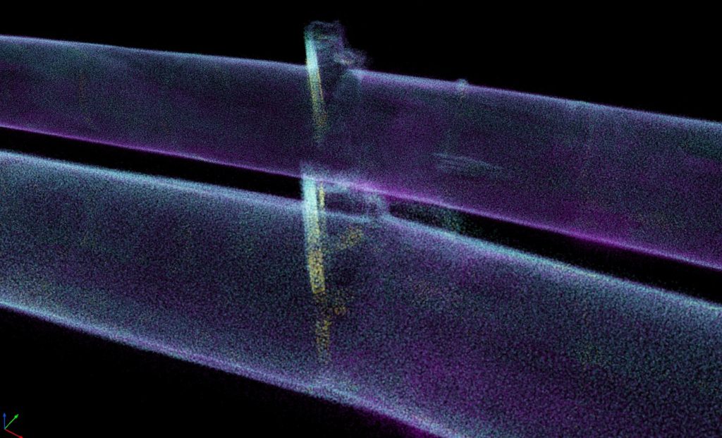
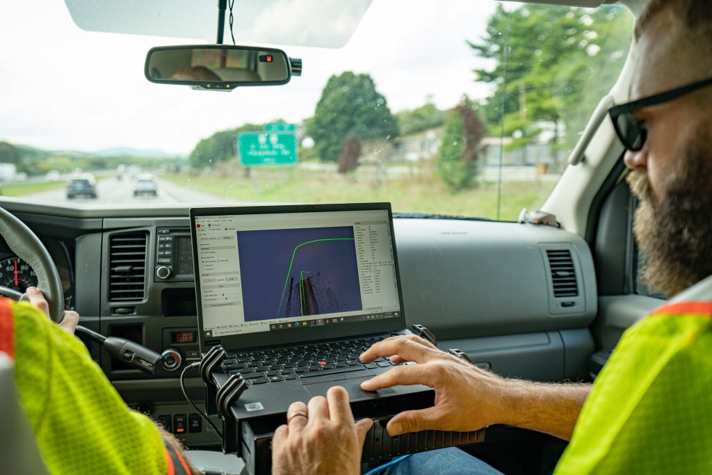
- Mobile LiDAR
- Imagery
- AFES
- Condition Assessments
- Inspection Programs
- Maintenance Records
- Asset Inventories
- Operational Systems
The result is a unified view of transportation infrastructure that supports planning, operations, and decision making.
Beyond The Map
Identify Patterns. Reveal Opportunities.
Geospatial Intelligence supports every stage of Transportation Asset Intelligence.
Geospatial Intelligence helps agencies answer questions such as:
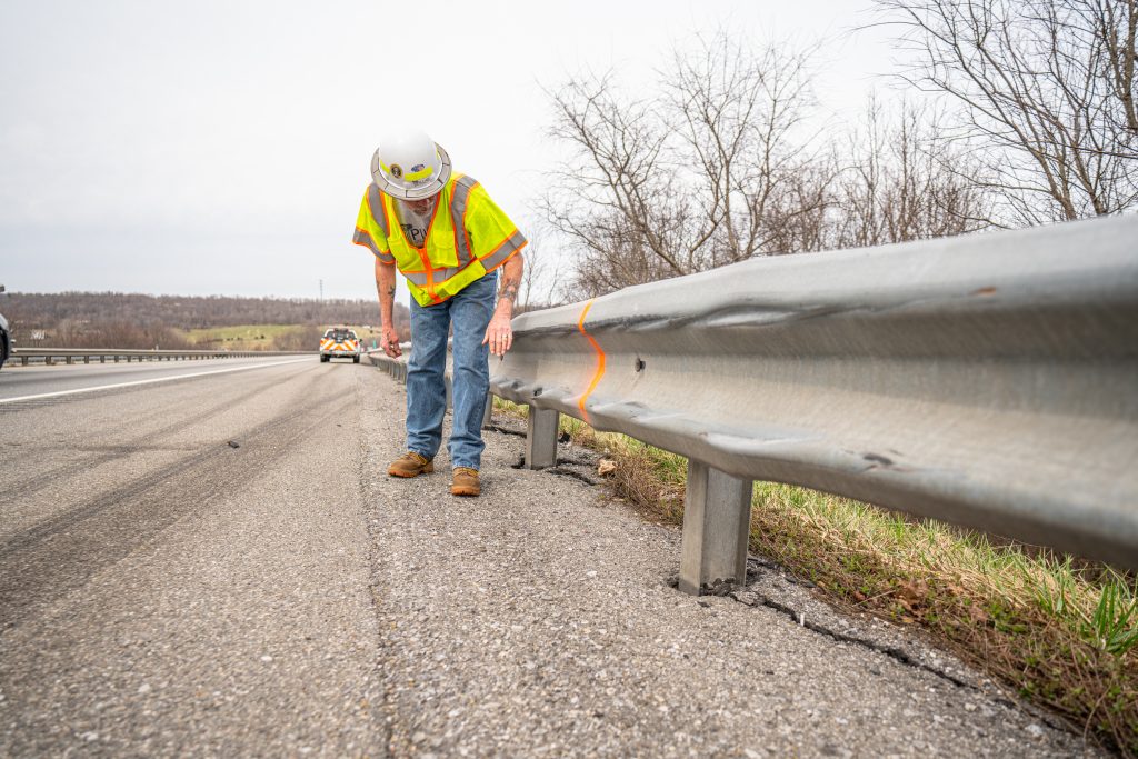
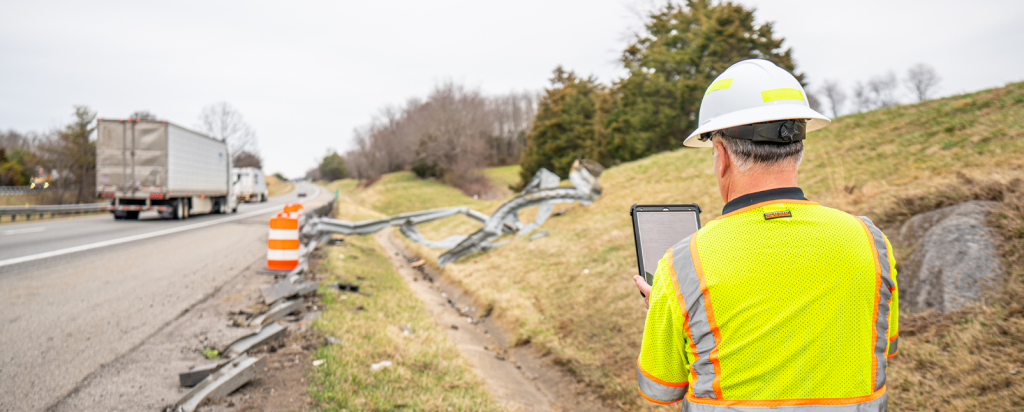
- Where are guardrail deficiencies concentrated?
- Which drainage assets present the greatest risk?
- What corridors require immediate attention?
- How are infrastructure conditions changing over time?
- Where should limited funding be invested first?
- How do infrastructure conditions impact operational performance?
By understanding the geographic relationships between assets, conditions, and performance, agencies gain insight that would otherwise remain hidden.
Supporting the CAPE® Framework
One Connected View Across the Entire Lifecycle.
Geospatial Intelligence supports every stage of Transportation Asset Intelligence.
COLLECTION
Organize and visualize infrastructure inventories.
ASSESSMENT
Identify condition patterns and infrastructure risks.
PLANNING
Support prioritization, forecasting, and funding decisions.
EXECUTION
Track improvements, monitor performance, and document results.
Outcome
A connected understanding of infrastructure from collection through execution.
Geospatial Intelligence in Action
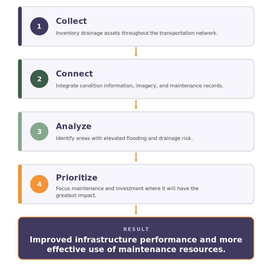
Example: Statewide Drainage Management Program
The Foundation of Transportation Asset Intelligence
Transportation Asset Intelligence depends on understanding how infrastructure assets, conditions, risks, and operations relate to one another.
Geospatial Intelligence provides the framework that connects those pieces into a complete picture.
When infrastructure information is connected, decisions become clearer.
When decisions become clearer, outcomes improve.

Ready to connect information to action?
Discover how PILLAR’s Geospatial Intelligence capabilities help agencies understand, prioritize, and manage transportation infrastructure with confidence.